Tech & Biodiversity: AI, Remote Sensing for Conservation in New Zealand
Unlocking new frontiers in protecting Aotearoa’s unique natural heritage through cutting-edge technology.

The majestic landscapes and unique biodiversity of Aotearoa New Zealand are under constant threat, from invasive species to the impacts of a changing climate. For too long, conservation efforts have relied on traditional, often labour-intensive methods. But what if we could monitor vast, remote areas with unparalleled precision, predict environmental shifts before they become crises, and protect endangered species with greater intelligence?
Enter the powerful synergy of Tech & Biodiversity: AI, Remote Sensing for Conservation. These cutting-edge tools are no longer just concepts from science fiction; they are becoming indispensable allies in the fight to preserve New Zealand’s natural taonga (treasures). This article explores how artificial intelligence and remote sensing are revolutionizing our approach to environmental stewardship, helping us transition from reactive measures to proactive, data-driven solutions that underpin a truly sustainable lifestyle.
As New Zealand moves towards a broader focus on sustainable living beyond just waste management, understanding these technological advancements becomes crucial for every citizen committed to protecting our planet.
The Urgency of Biodiversity Conservation in Aotearoa New Zealand
New Zealand is a global biodiversity hotspot, home to an extraordinary array of endemic species found nowhere else on Earth. From the iconic kiwi and kākāpō to ancient kauri forests and unique marine life, our natural heritage is truly precious. However, this unique ecosystem faces significant threats. Introduced pests like stoats, possums, and rats decimate native bird populations, while habitat loss, pollution, and the escalating impacts of climate change put immense pressure on our delicate ecosystems.
Protecting this biodiversity is not just about preserving nature; it’s fundamental to the health, economy, and cultural identity of New Zealand. A thriving natural environment provides clean water, fertile land, and a robust tourism industry, all vital components of a sustainable lifestyle for all New Zealanders.
Revolutionizing Conservation: What is Tech & Biodiversity?
The marriage of advanced technology and ecological science is transforming conservation. Artificial Intelligence (AI) refers to computer systems capable of performing tasks that typically require human intelligence, such as learning, problem-solving, and decision-making. In conservation, AI excels at processing vast datasets to identify patterns and make predictions.
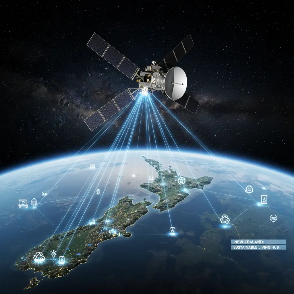
Remote Sensing, on the other hand, involves collecting information about an object or area from a distance, typically from satellites, aircraft, or drones. This technology provides an ‘eye in the sky,’ offering unparalleled views of our planet’s surface and atmosphere. Together, they create a powerful toolkit for understanding, monitoring, and protecting biodiversity.
AI in Action: Smart Solutions for Wildlife Protection
AI’s ability to analyze complex data makes it invaluable for wildlife conservation. It can:
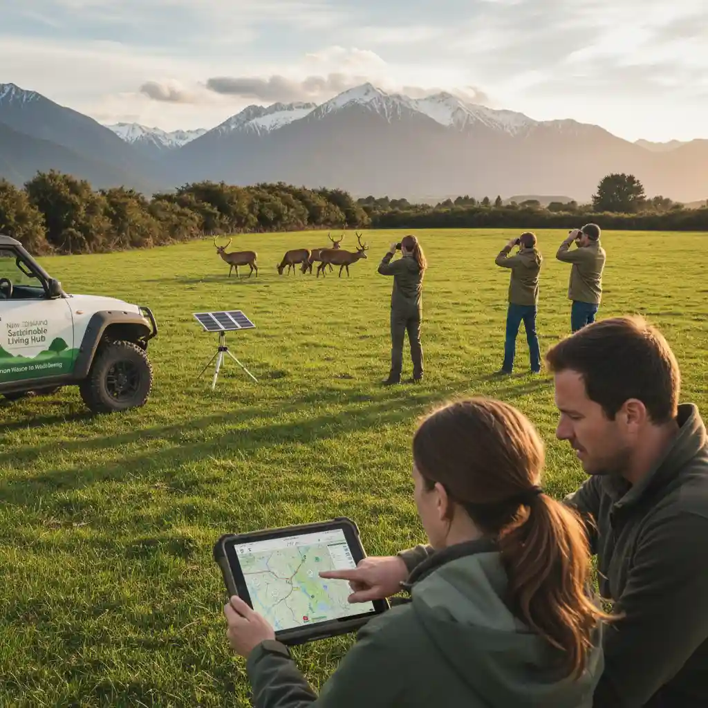
- Automated Species Identification & Tracking: AI can analyze vast amounts of camera trap footage or acoustic recordings to identify specific species, monitor populations, and track individual animal movements. This drastically reduces the manual effort involved in data analysis.
- Predictive Modelling: Machine learning algorithms can predict areas at high risk for poaching, illegal logging, or pest incursions by analyzing historical data, weather patterns, and human activity.
- Disease Surveillance: AI can identify early signs of disease outbreaks in wildlife populations, allowing for quicker intervention and preventing widespread epidemics.
Stat Callout:
Studies show that AI-powered analysis of camera trap data can increase the efficiency of species detection by up to 95% compared to manual review, significantly accelerating research and monitoring efforts.
Remote Sensing: Eyes in the Sky for Ecosystem Health
Remote sensing offers an expansive view of our planet, allowing conservationists to monitor large, often inaccessible areas. Its applications include:
- Habitat Mapping & Monitoring: Satellites and drones can create detailed maps of forest cover, wetland health, and coastal erosion, identifying changes over time that indicate habitat degradation or recovery.
- Pest and Disease Detection: Multispectral imagery can detect subtle changes in plant health before they are visible to the human eye, indicating early signs of pest infestations or plant diseases across vast agricultural or forest areas.
- Water Quality Assessment: Remote sensors can measure parameters like chlorophyll content, turbidity, and temperature in lakes, rivers, and oceans, providing crucial data for monitoring water quality and aquatic ecosystem health.
Stat Callout:
The global remote sensing market for environmental monitoring is projected to reach over $5 billion by 2027, reflecting the increasing reliance on this technology for ecological insights and policy-making.
The Benefits & Challenges of Tech-Driven Conservation
While the promise of **Tech & Biodiversity: AI, Remote Sensing for Conservation** is immense, it’s essential to consider both the advantages and the hurdles in its widespread adoption and effectiveness.
Advantages of AI & Remote Sensing in Conservation
- Unprecedented Scale & Efficiency: These technologies allow conservationists to monitor and analyze vast geographical areas that would be impossible to cover manually, saving time and resources.
- Enhanced Accuracy & Precision: Data collected by AI and remote sensing is often more objective, consistent, and granular than human observations, leading to more informed decision-making.
- Early Warning Systems: By detecting subtle changes or predicting threats, these tools enable proactive interventions, preventing crises rather than just reacting to them.
- Reduced Human Risk: Drones and autonomous sensors can access dangerous or inaccessible terrain, keeping human workers safer.
- Data-Driven Policy: Robust data provides strong evidence for policy changes and funding requests, making conservation efforts more impactful.
Challenges in Implementing Conservation Technology
- High Initial Costs: The investment in specialized equipment (drones, sensors, computing power) and software can be substantial, especially for smaller organizations.
- Technical Expertise Required: Operating and interpreting data from these advanced systems requires skilled personnel, which can be a barrier for many conservation groups.
- Data Overload & Integration: Generating enormous amounts of data is one thing; processing, storing, and integrating it effectively across different platforms is another significant challenge.
- Ethical & Privacy Concerns: The use of surveillance technology raises questions about data privacy, especially when monitoring human activity in protected areas.
- Digital Divide: Ensuring equitable access and benefits of these technologies, especially for indigenous communities and developing regions, remains a challenge.
“While technology offers incredible leverage, it’s merely a tool. True conservation success still hinges on human dedication, collaborative action, and deep ecological understanding.”
New Zealand’s Role and Future Outlook
New Zealand is uniquely positioned to be a leader in tech-driven conservation. Our small size, strong scientific community, and national commitment to becoming Predator Free 2050 provide fertile ground for innovation. Initiatives like the use of thermal drones to detect cryptic pests, AI for identifying native bird calls, and satellite imagery for monitoring kauri dieback are already underway.
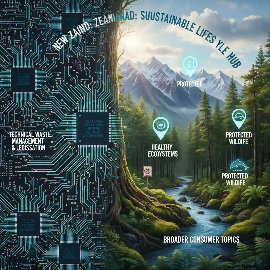
As our focus as a nation broadens from traditional waste management to embracing a holistic sustainable lifestyle, the integration of **Tech & Biodiversity: AI, Remote Sensing for Conservation** becomes paramount. It empowers individuals and communities to understand their local environment better, supports citizen science projects, and provides the data needed for effective advocacy.
The future of conservation in New Zealand is not just about human effort; it’s about intelligent collaboration between people and powerful tools. By harnessing these technologies responsibly, we can safeguard our unique natural heritage for generations to come, ensuring Aotearoa remains a beacon of biodiversity.
Conclusion
The convergence of artificial intelligence and remote sensing represents a profound leap forward for biodiversity conservation. For New Zealand, these technologies offer unprecedented opportunities to protect our precious native species and ecosystems. While challenges exist, the immense potential for efficiency, accuracy, and proactive conservation makes **Tech & Biodiversity: AI, Remote Sensing for Conservation** an indispensable pillar of our sustainable future. By embracing these innovations, we can ensure that our commitment to living in harmony with nature is more effective and impactful than ever before.
Frequently Asked Questions (FAQ)
Q: How does AI help with pest control in New Zealand?
A: AI can analyze patterns in pest activity from sensors and camera traps, optimizing trap placement and identifying hotspots. It can also differentiate between target pests and native species, improving the efficiency and specificity of control efforts, especially crucial for New Zealand’s Predator Free 2050 goal.
Q: What kind of data do remote sensing technologies collect for conservation?
A: Remote sensing collects a wide array of data, including high-resolution imagery, multispectral and hyperspectral data (showing plant health and soil composition), thermal imagery, and LiDAR data (for 3D mapping of terrain and forest structure). This data helps monitor habitat change, water quality, and species distribution.
Q: Is this technology accessible to local communities and smaller conservation groups?
A: While some high-end systems are expensive, many open-source AI tools and more affordable drone technologies are becoming increasingly accessible. Efforts are also being made to provide training and support to local groups, empowering them to utilize these tools for their specific conservation projects in New Zealand.
Q: How does this topic relate to a ‘sustainable lifestyle hub’ in New Zealand?
A: Understanding **Tech & Biodiversity: AI, Remote Sensing for Conservation** is crucial for a sustainable lifestyle because it highlights how innovation contributes to environmental stewardship. It empowers citizens to appreciate the data-driven efforts to protect our unique ecosystems, encouraging informed choices and participation in broader conservation goals beyond individual waste reduction.
References/Sources
- Department of Conservation (DOC) New Zealand. Official Website. (General information on NZ conservation efforts).
- WWF. Innovation & Technology in Conservation. (Overview of global tech applications).
- National Geographic. Remote Sensing Explained. (Educational resource on remote sensing).
- The Predator Free 2050 Strategy. Official Website. (Information on NZ’s national pest eradication goal).
- IBM Research. AI for Environmental Sustainability. (Examples of AI in environmental projects).
- Esri. GIS in Conservation. (Geographic Information Systems are foundational to remote sensing analysis).